The D-Day Museum Portsmouth
13th September 2019
Geoenvironmental • Geotechnical • Specialist Services
Our Client

Preliminary-Assessment
Our Challenge
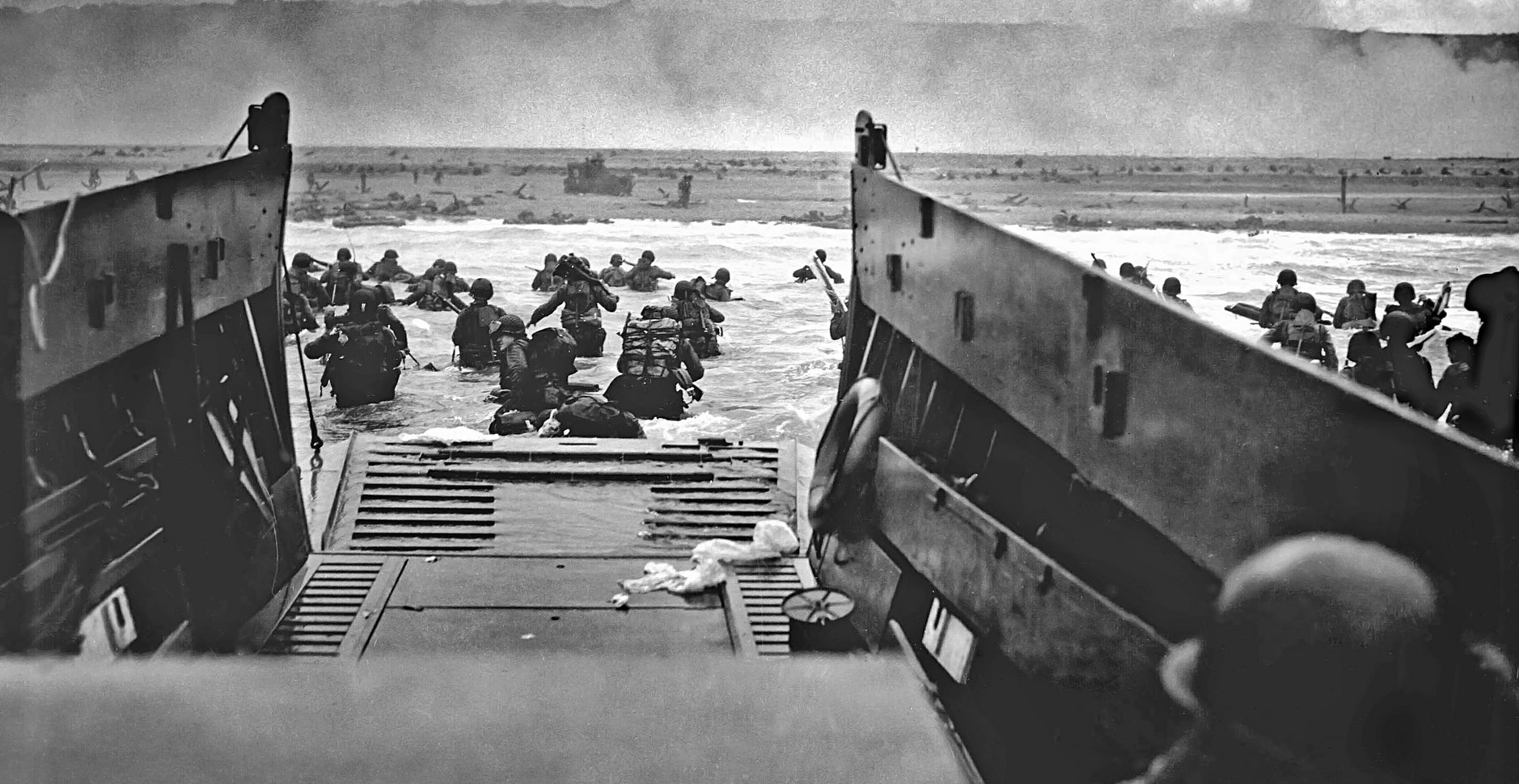
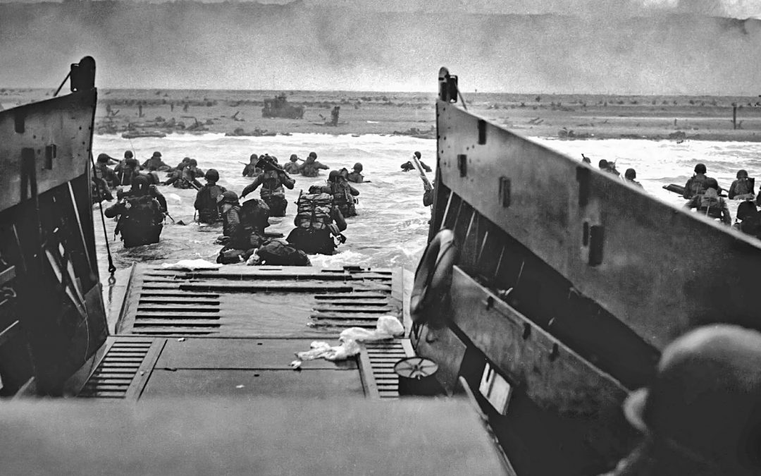
LCT 7074 was built in early 1944 and was took part in Operation Neptune – the naval element of the D-Day landings. She successfully landed nine tanks on Gold Beach on 6 June 1944 and over the following months she made 32 trips across the English Channel ferrying a variety of vehicles, troops and supplies to support the allied assault on the German Army in France.
There was no evidence of any previous ground investigation of the site. Given its low-lying nature and proximity to the sea, plus its former military use as a gun battery; the underlying geology and the potential that contaminated ground lay below were key considerations. There was also the potential that buried unexploded ordnance (UXO) from the Portsmouth Blitz could be present. A series of UXBs had been discovered previously 150m northwest of the site.
The Ground & Water Approach
The geological map for the area indicated that the site was underlain superficial storm beach deposits and bedrock deposits of the Undifferentiated Earnley Sand Formation, plus other deposits of sand, silt and clay.
The historic maps identified a potential risk from construction and demolition activities on-site associated with the West Battery. The gun emplacements and associated infrastructure were previously located immediately to the south of the site. While there were no records of buried storage tanks on the site, it was noted there were records of nine unspecified historical storage tanks within a 250m radius of the site.
A risk assessment determined that demolition and construction activities between 1931 – 1968 are likely to have created a capping of Made Ground containing demolition debris. Building materials used in the late 19th and early 20th Century may have included asbestos. Lead, cadmium and other heavy metal-based paints may also have been used. Fires may have taken place on the site as part of any demolition processes to remove waste. Potential pollutants such as carcinogenic PAHs in the tars produced by combustion of timber and other materials may be present in the near surface soils. Oil spills may have also occurred.
The Desk Study revealed the site was located on a secondary aquifer. The nearest major water feature was the Solent, 90m to the southwest. Groundwater was anticipated to be shallow, possibly tidal, and would flow towards the Solent. The site was within a Flood Zone 3 and did not benefit from flood defences.
Given the known risk of UXOs, the two-day Phase II site investigation works were supervised by a UXO specialist. Phase II of the site investigation comprised a single deep Cable Percussion Borehole for a potential pile design for the platform, a single Windowless Sampler Borehole and two Trial Pit/Foundation Exposures adjacent to the historic wall located on site. Also the site investigation comprised installing two groundwater monitoring wells. Monitoring visits were conducted over a three-month period at low and high tide times.
The Outcome
In terms of design for the platform for LCT 7074, engineering specifications were supplied for both a reinforced concrete raft foundation and piled raft foundation. These were based on findings from analysis of the underlying geology obtained from samples taken during the site investigation.
The danger of encountering buried storage tanks or UXO was still present. Ground & Water provided guidance for the construction contractor.
Following a chequered post-war career as a floating nightclub in Birkenhead, LCT 7074 eventually sunk at her moorings. She was salvaged and moved to Portsmouth in 2014. The National Museum of the Royal Navy has now restored her and she can be seen at the D-Day Museum. Ground & Water feels privileged to have played its small part in the huge team achievement of preserving this important part of our naval history for future generations to enjoy.
