Enhancing the Field to Fork Experience
12th June 2024
Geoenvironmental
Our Client
Preliminary-Assessment
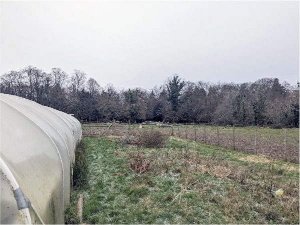
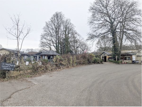 The site comprised an existing farm shop and restaurant with external areas including parking, allotments, fields for horse grazing and children’s play areas.
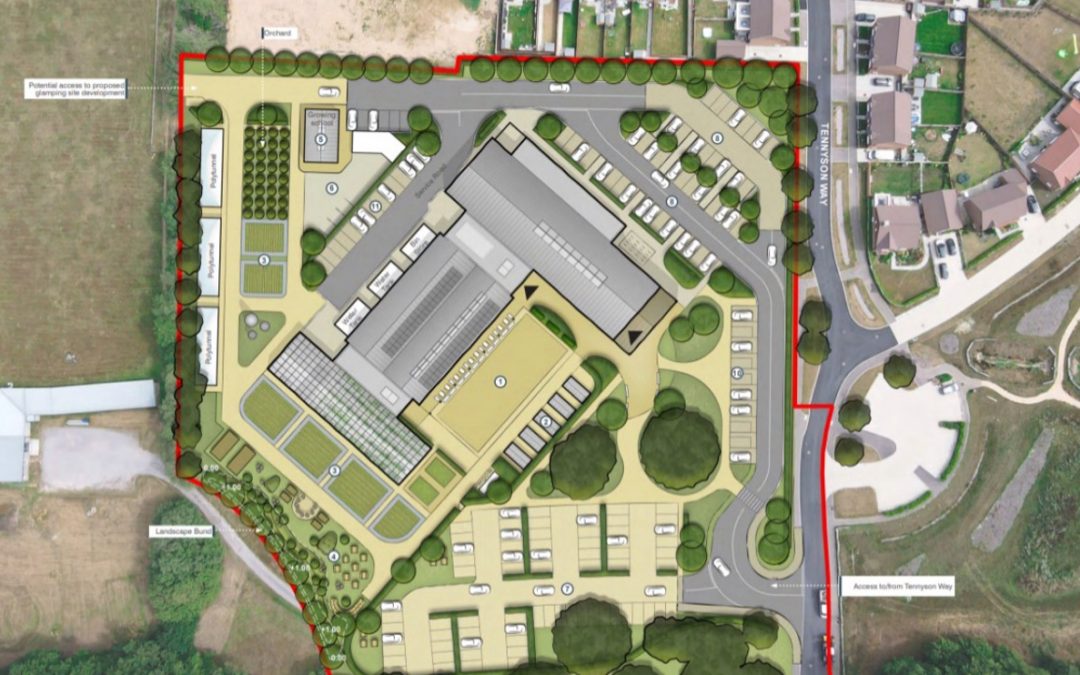
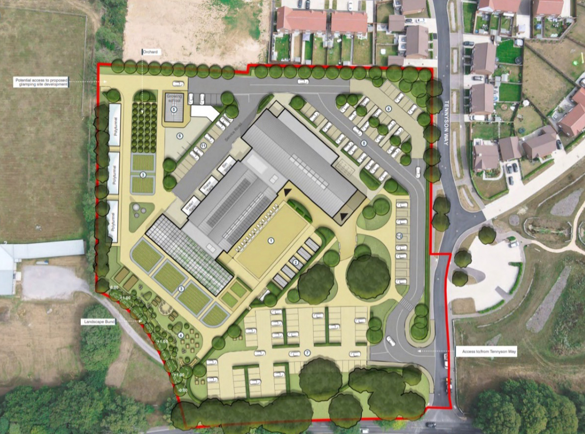
The re-development was understood to comprise the expansion of the existing restaurant and farm shop with the addition of a rural enterprise center, cookery school and expansion of the allotment areas.
The site was found to be underlain by a Principal Aquifer comprising bedrock deposits of the Hythe Formation – Sandstone.
Our Challenge
The Ground & Water Approach
 Phase 1
From a review of historical mapping the Desk Study identified the site to have remained as undeveloped agricultural land until 1994 where construction of the on-site agricultural structures had occurred.
The site walkover noted an above ground oil tank within the south-eastern section of the site whilst the northern section of the site was being utilised for animal grazing with small allotment areas. Centrally the site was occupied by the shop/restaurant as well as a large warehouse used for general storage.
Phase 2
The intrusive investigation comprised trial pitting across the site to provide general coverage whilst also targeting areas of concern such as the oil tank and allotment areas. The soil samples underwent analysis at the laboratory for a range of determinands including pesticides and speciated TPH.
Based on the proposed development and its varied use the site was zoned based on proposed end use (commercial, allotments or public open space – parks) and the results of the chemical laboratory testing were compared to the most appropriate Generic Assessment Criteria (GAC) land-use scenarios for each zone.
The Outcome
Further investigation in the form of hand pits within the area of contamination was recommended to delineate its extent and to aid in the design of a remediation strategy.