Detailed Site Investigation Gets Sussex Housing Development Moving
3rd July 2024
Geotechnical • Specialist Services
Our Client
Preliminary-Assessment
The site comprised undeveloped agricultural land with dense woodland located along the western and southern boundaries. The site was underlain on the western portion of the site by the superficial River Terrace Deposits (Sand Silt and Clay) with the eastern portion of the site by the Raised Beach Deposits, overlying the Lewes Nodular Chalk, Seaford Chalk, Newhaven Chalk, Culver Chalk and Portsdown Chalk formations. It was immediately clear that an accurate Chalk Dissolution Risk Assessment was required.
As a result of the desk-based review of the site, the geology showed a moderately low risk. Based on collective information to date and the relatively competent ground encountered to a moderate depth, the risk was considered to be generally low, subject to further testing. However, the Lidar data did record a circular feature on the northern portion of the site that should be investigated further. Several dynamic probes undertaken across the site to confirm the strength of the soils were recommended.
Our Challenge
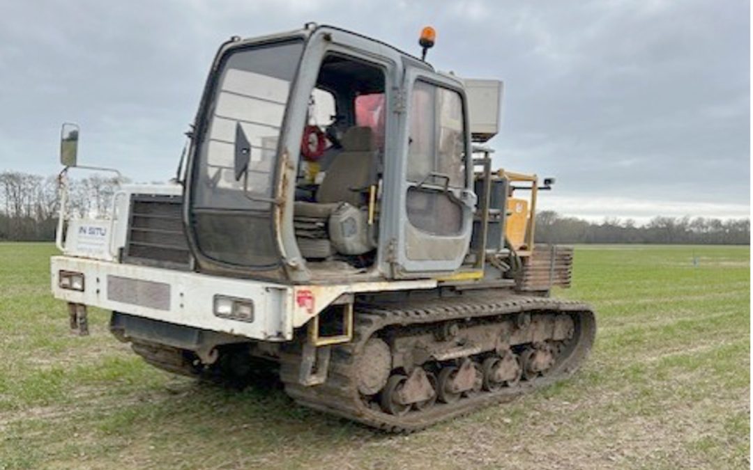
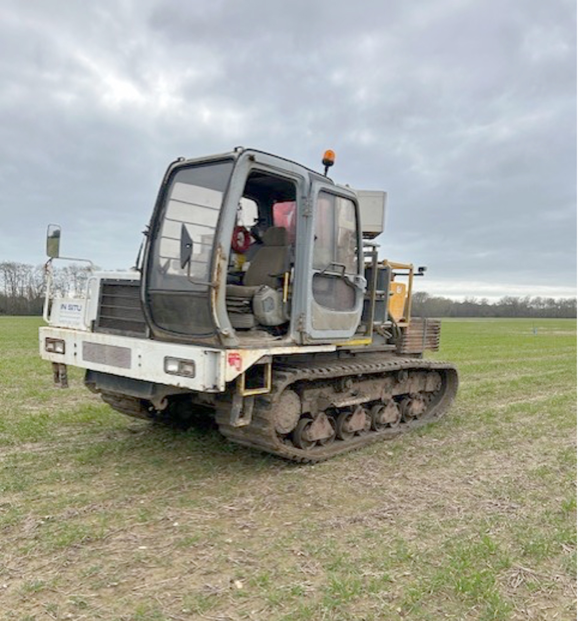
The Ground & Water Approach
Window sampling for the installation of groundwater monitoring wells across the site was undertaken and subsequent groundwater monitoring was carried out to assess the groundwater levels across the site.
 The CPT trial holes recorded the top of the chalk head at variable depths across the site between 1.50-3.00m bgl in the Windowless sampler holes and 2.20-5.80m bgl in the CPT holes with no chalk recorded in the CPT or WS holes on the north-eastern portion of the site. Superficial soils comprising clays and sands were recorded above. A general trend of increasingly competent chalk with depth was identified. Soil strength across the site varied significantly within the superficial soils with areas of soft spots where very low to low undrained shear strength was recorded and areas where high to very high undrained shear strength was recorded.
It was considered likely that the excavation would encounter groundwater or significant perched water within the Topsoil and clayey Sand/ Sand Clay of the River Terrace Deposits, especially after periods of prolonged rainfall or during winter, therefore dewatering was likely to be required.
Chemical laboratory testing of the Topsoil and River Terrace Deposits did not reveal any elevated levels of determinands above the guideline levels for a ‘Residential with Homegrown Produce’ land-use scenario.
The Outcome
Thanks to the level of detail this site investigation went to, moving from a fully piled foundation strategy to the three foundation depth zones will save our client a considerable amount of time and money.